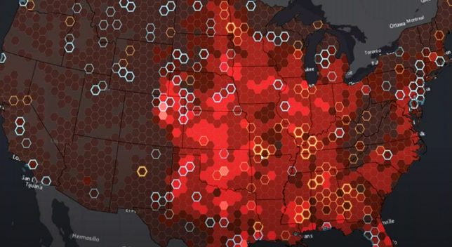
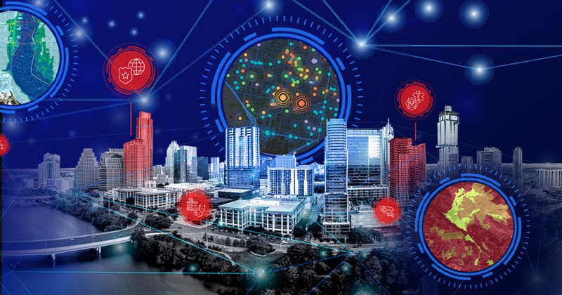
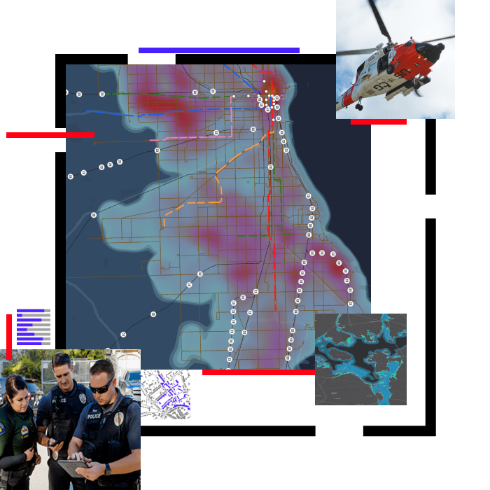
Skip to Content

Public Safety

Keep communities safe with real-time GIS technology and solutions

A heat map of a city in red and blue beside a photo of emergency vehicles with smaller images of police officers using a tablet, a helicopter in flight, and several maps

With geographic information system (GIS) mapping software, public safety agencies and organizations gain a deeper understanding of where to focus efforts to prevent, protect against, and mitigate complex threats and hazards. With real-time data-driven insights aiding mission-critical decisions, departments can respond to and quickly recover from the threats that pose the greatest risk to keeping communities safe.

previous
Next

Webinars

Public Safety Webinar Series

Stay on top of trends, technical advancements, and best practices related to GIS in public safety, with the Esri Public Safety Webinar Series. The series highlights subjects relevant to your organization's missions, workflows, and operations.

Review upcoming
A screencap from a featured webinar showing a heat map of the US in shades of red on a gray background

UPCOMING EVENT

Esri Federal GIS Conference

Learn how the federal government is using GIS to promote a deeper understanding of complex issues for effective solutions. Attend professional development workshops, learn from Esri staff, and connect with your peers on February 13-14, 2024, in Washington DC, USA.

Explore the event page
Two people standing back-to-back laughing as they look into the camera with an abstract blue and green background

Stay updated

previous
Next

Connect with the Esri public safety team